
Gaia GPS offers the most map types and layers of any navigation app. Having a great topo map doesn’t always show the full picture of where you are planning on traveling. If you are from out of state you may not have heard of a recent fire to an area you are wanting to explore. The Gaia GPS Wildfires(Current) layer is an excellent resource. This layer shows current fires and fires within the past calendar year. The public lands layer displays additional details including BLM areas and state trust land. By visiting the corresponding website additional details on current restrictions can be found. Knowing areas of state trust land in Arizona is important. Accessing state trust land requires an annual permit.
When you are planning your next adventure, especially out of state where you might not be familiar with current fires are be sure to add the wildfire layer to Gaia GPS. You can save 20% or more on your Gaia GPS membership subscription by visiting GaiaGPS.com/4XOA.
Sample Screenshots – Bush, Sawtooth, and Woddbury fires near Phoenix, AZ.
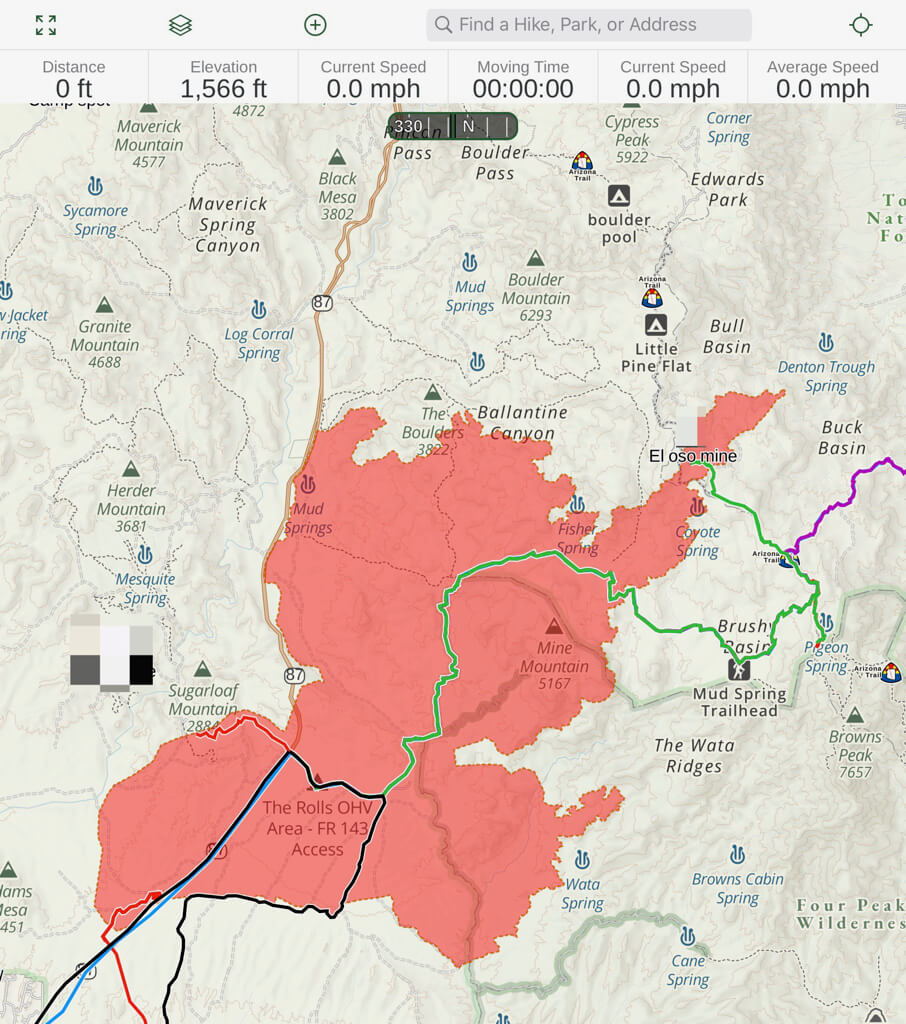
Gaia Topo Layer with Wildfires (Current) Layer. Bush Fire near Phoenix, AZ Tonto National Forest. https://inciweb.nwcg.gov/incident/maps/6773/
What a difference a few days make –
We recently took a trip up to one of our favorite locations on the Mogollon Rim near Payson, AZ. Just an hour after we returned a car fire started a now huge wildfire near the exit we use to return home. Less than 24 hours later the highway was closed. 72 hours later the fire is now over 65,000 acres with zero containment. One of the most popular recreation areas in the Phoenix area for hiking, OHV riding, off-roading, and target shooting is now completely on fire. The area will never be the same although it will return to some normalcy in a few years. This is the 3rd area in a year where the AZ community spends a lot of time that has been impacted by wildfires. The largest was human-caused by someone being careless with fire. Non-native grasses and plants have taken over a lot of the Arizona desert. It is causing great damage when fires start.
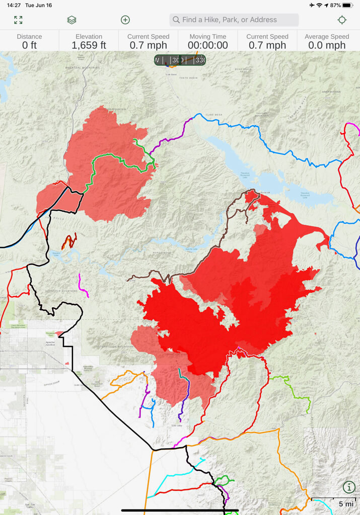
Fire growth after 72 hours. Gaia Topo Layer (6/16/20)
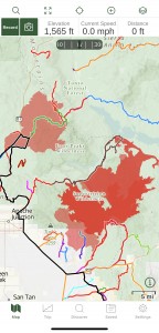 iPhone Screenshot |
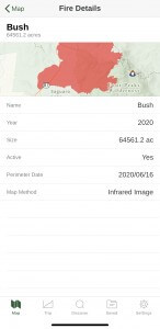 Fire Details Screen |
General Fire Resources:
The following websites are excellent resources on current fires and campfire restrictions throughout the united states.
InciWeb – InciWeb shows current fire information including up to date restrictions and maps for fires in the US
US Forest Service – Home page for the US Forest Service. You can search for individual forests by state
BLM – Bureau of Land Management – Learn about BLM fire restrictions by state