
The best navigation app keeps getting better!
It’s been a while since we have written about Gaia GPS. Our preferred mapping and navigation app just keeps getting better! We have used Gaia GPS for over 6 years. We regularly compare it to other apps and well we have found NO reason to switch.
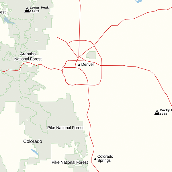
Before – Image Courtesy of Gaia GPS. Click for larger view
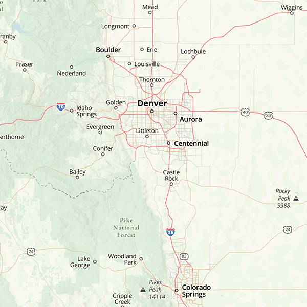
After – Image Courtesy of Gaia GPS. Click for larger view
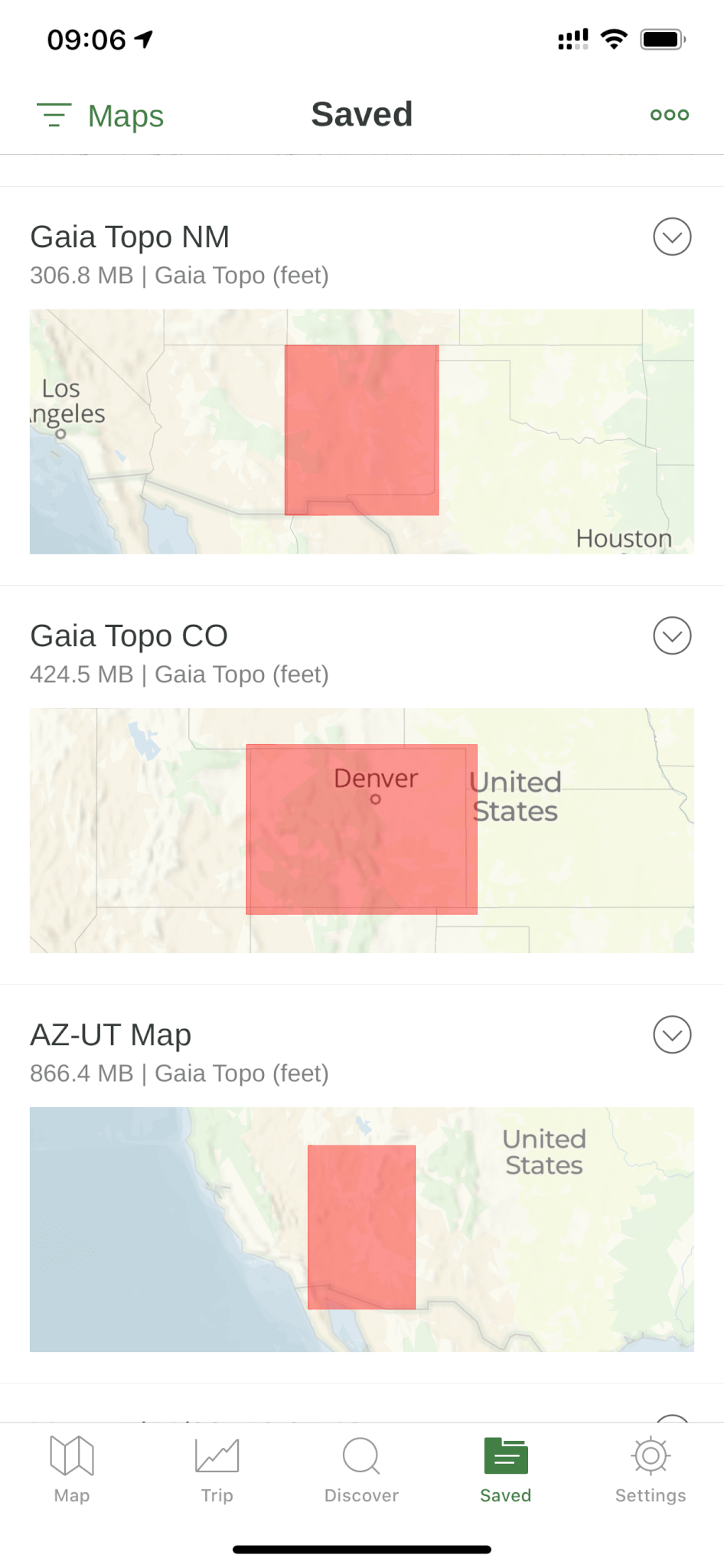
The latest improvement has been a major rewrite of the default Gaia Topo Layer. The layer now has better POI (Point of Interest) data, much smaller download size, and even supports Dark Mode on iOS devices. With the smaller and faster download size it is easy to download entire states. Most are around 300-400mb per state. This is a great way to have a backup map for offline use on your device(s). Where available, our favorite layer is still USFS 2016 but with the improved default map we can see using it more often. The USFS 2016 layer provides great detail of forest roads including the names.
From the official blog post from Gaia GPS:
“This project was driven by map-maker Lee France, who joined the Gaia GPS team this spring as the company’s first full-time cartographer. He brings over a decade of mapping experience to the new Gaia Topo, and early in his career, worked on some of the National Geographic Trails Illustrated Maps you can also access in Gaia GPS. You can read more about Lee’s background on the Gaia GPS team page.
The new Gaia Topo features a cleaner look and smarter labeling. That means it’s both easier to use and more beautiful to look at than ever before. We’ve tuned the map to the needs of many stripes of the outdoor adventurer. A new visual hierarchy system causes national and state parks, peaks, and campgrounds to appear first as you zoom in. We’ve also curated features and polished up the labeling system to improve information density. The result is a map that’s both more aesthetically pleasing and more efficient: It shows you exactly what you need at each zoom level without cluttering up your screen.”
For the complete write up on all of the improvements visit, https://blog.gaiagps.com/easy-to-read-tiny-to-download-the-all-new-gaia-topo/
Which Map Layers Should I Use?
One of the most common questions we are asked and see on forums is, “What layer(s) should I use?” This is very dependent on the area. Not all states have USFS 2016 maps or MVUM map layers for example. Whenever possible you have to take the time to review what layers you think will work for you. With that said our default layers are USFS 2016, Satellite Topo, Public Land Data, and Gaia GPS topo. I always look at the USGS Topo ESRI and USGS CalTopo layers as well. Where available, the NatGeo maps are amazing. So are the MapBox Streets HD and MapBox Outdoors HD. Our next big article will discuss how we plan and discover routes.
Gaia GPS is an amazing app. Gaia has expanded it staffing a great deal in the past 2 years. This has allowed Gaia to continually improve the app. There have also been improvements to the online browser based tools. We will save that for another article.
The best source to keep up to date on all of the changes is at blog.gaiagps.com
Don’t forget you can help support this website and receive a nice discount on your Gaia GPS subscription by visiting gaiagps.com/4xoa
See you on the trail!
Additional Images:
| Here are a few sample download sized for the four corners region. | Dark Mode |
 |
 |
Improved Contour Lines:
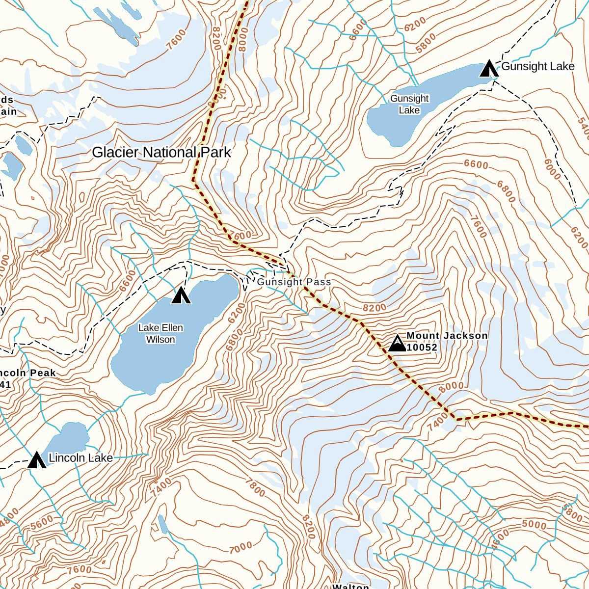
Old Contour Lines Image Courtesy of Gaia GPS
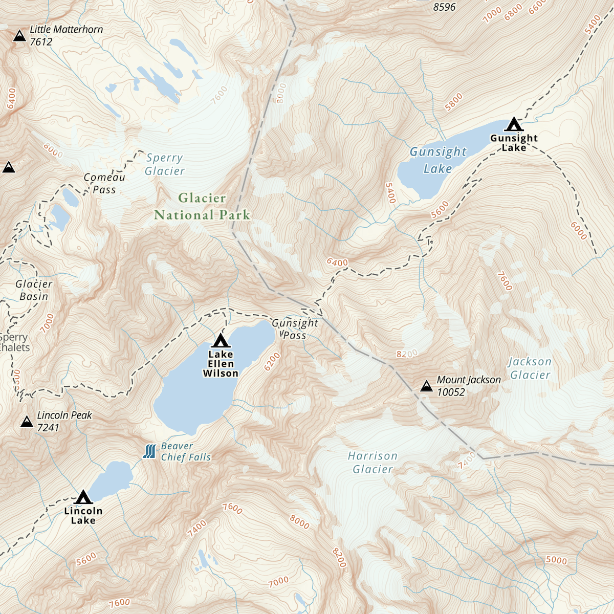
New Contour Lines Image Courtesy of Gaia GPS
